Graphic Data
The Museum provides digital graphics of popular materials among 2,345 items of National Treasures.
Please click on the thumbnail image to jump to the downloading page.
They may be utilized for any personal purposes such as individual research, and self-leaning, etc.
Anyone wishing to use any of these graphics for TV pragmas, publication, etc., is requested to write clearly: “Owned by the Inoh Tadataka Museum, Katori City, Chiba, Japan”.
Please note that the downloadable graphics may change without any notice.
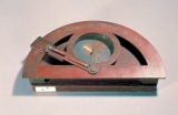
▲ Semicircular Pelorus
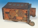
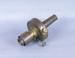
▲ Odometer
▲ The Portrait of Inoh Tadataka
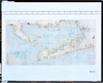
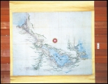
▲ Large Sized Map:Atsumi Peninsula and Environs
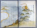
▲ The Instruction of Surveying - The Latter Part
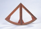
▲ Quadrant (medium)
▲ Quadrant (small)
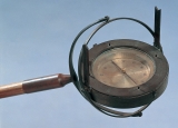
▲ Wan-Kara-Shin (small pelorus attached to surveying pole)
▲ Suiyou-Kyugi (pendulum chronograph to measure longitude)
▲ Suiyou-Kyugi (pendulum chronograph to measure longitude)
▲ Monocular for Observing Solar and Lunar Eclipse
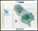
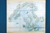
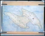
▲ Special Large Sized Map:Hachijojima Island
▲ Map of Scenic Point: Lake Biwa
▲ Map of Scenic Point: The Itsukushima Shrine and Environs
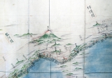
▲ Middle Sized Map:Mt. Fuji and and Environs
▲ Middle Sized Map:Northern Tohoku
▲ Large Sized Map:Hachirogata and Environs
▲ Large Sized Map:Mt. Chokai and Environs
▲ Large Sized Map:Sado Island
▲ Large Sized Map:Oshika Peninsula and Environs
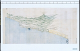
▲ Large Sized Map:Izu Peninsula and Environs
▲ Small Sized Map:The First Survey of Hokkaido in 1800


